Home-Ashburton’s treasures
- Our team
- Research process
- References and acknowledgements
- Tinwald School
- Lake Hood
- Somerset Building
- Ashburton Railway Station
- Plains Railway
- Clock Tower
- Ashburton Museum
- Ashburton Domain
- Water - The Life Blood of the Plains
- Ashburton Bridge
- People Treasures
- Astounding Activities
- Green and Gold Ashburton
- Mount Hutt Skifield - Methven
- Our Rivers
- Baring Square West
- Rakaia Salmon
- Ashburton Guardian
Mount Hutt Skifield - Methven
Why is Mt Hutt a skifield?
|
|
In this group there are two people - Hamish and Callum.
To find out the answer to our question, we used the internet and emailed Dave at the Mt Hutt Ski Centre in Methven.
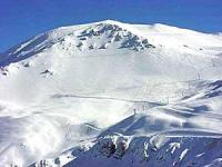
Some of the information we found out was that Mt Hutt ski area is 472 hectares and 2086 metres high.
|
|
| In 1869, Robert Patton bought some land from the Canterbury Land Association and called the area Methven after his home town in Scotland. In the middle of Methven is a junction of 6 main roads. Methven is the closest town to Mt Hutt Station. The Methven Lions Club was responsible for starting up Mount Hutt. Peter Yeoman, a business man and engineer was part of the development team. In 1972, Mount Hutt began development as a ski field. The road was built at 5600 feet above sea level and is known as Hood Highway after Doug Hood. Doug Hood was an Ashburton road contractor. A man called Willie Huber spent all of the winter in 1972 in a hut on the ski field collecting data about the snow. In 1973, the first skiers came. |
|
|
|
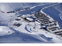
Now days, Mount Hutt has lots of skiers visiting every year. On really good days, there can be between 2000- 4000 people skiing. They have just put in new lifts like the Summit Six which takes you to the top really quickly. Mount Hutt has one of the longest ski seasons in the southern hemisphere. |


